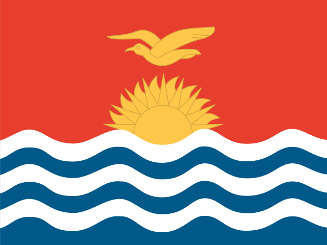
Tarawa — Capital of Kiribati
South Tarawa is not a single planned city but a narrow, densely packed string of connected islets on Tarawa Atoll, linked by causeways and a coastal road, that grew into Kiribati's administrative and population center largely because of decisions made during and after the Second World War rather than any pre-colonial capital tradition. Tarawa's status was set by brutal necessity: the Battle of Tarawa in November 1943, one of the bloodiest amphibious assaults of the Pacific War, saw US Marines take the atoll from its Japanese garrison after roughly 76 hours of fighting that killed over a thousand Americans and nearly the entire Japanese and Korean labor force stationed there.
Bairiki, the government seat within South Tarawa, became the administrative center of the Gilbert and Ellice Islands colony in the postwar period, a role it retained when Kiribati gained independence in 1979, even though South Tarawa was never a pre-colonial seat of unified political authority — the Gilbert Islands were traditionally organized around dispersed, island-by-island chiefly systems rather than any single capital.
South Tarawa is now one of the most densely populated places on Earth relative to its land area, packing tens of thousands of residents onto islets that are in places barely a few hundred meters wide, a crowding driven by internal migration from Kiribati's more remote outer islands toward the jobs, schools, and services concentrated on Tarawa since independence.
The atoll's low elevation — rarely more than three meters above sea level anywhere on South Tarawa — makes it one of the most frequently cited real-world examples in international discussions of sea-level rise and climate displacement, and government and international agencies have repeatedly studied causeway reinforcement, land reclamation, and freshwater lens protection as ongoing challenges specific to keeping the capital habitable.
Freshwater supply is a genuine daily constraint rather than an abstract policy issue: South Tarawa depends heavily on a thin underground freshwater lens beneath the atoll, easily contaminated by saltwater intrusion, storm surge, and the sheer population density living above it, and water rationing has been a recurring feature of life in the capital in dry periods.
Christian missionaries from the London Missionary Society and later Catholic orders were active in the Gilbert Islands from the 19th century onward, and South Tarawa today reflects that long missionary presence in its churches and denominational schools, which remain among the capital's most prominent community institutions alongside government buildings.
Kiribati gained independence from Britain in 1979, having been administered as part of the Gilbert and Ellice Islands colony until the Ellice Islands separately became Tuvalu in 1978; South Tarawa inherited the seat of national government directly from the colonial administrative structure without the kind of purpose-built new-capital process some other newly independent Pacific states pursued.
Facing long-term land constraints and sea-level projections, Kiribati's government purchased roughly 20 square kilometers of land on Fiji's Vanua Levu island in 2014, a move widely reported internationally as a hedge against future displacement from South Tarawa and the country's other atolls, though Kiribati's government has emphasized adaptation in place as the primary strategy rather than immediate relocation.
Betio, the westernmost and most densely settled islet of South Tarawa, was the site of the heaviest fighting in the 1943 battle and still bears physical traces of that history, including rusted wartime relics, bunkers, and gun emplacements scattered among the islet's houses and businesses — wartime remnants that residents live alongside as an ordinary part of the built environment rather than as a curated historical site.
Quick facts
- South Tarawa's population is estimated at roughly 63,000 as of the most recent census-based estimates, packed onto a total land area of only about 16 square kilometers.
- Kiribati is the local pronunciation of 'Gilberts,' the old colonial name for the Gilbert Islands, adopted as the country's own name at independence in 1979.
- Bairiki, within South Tarawa, houses Kiribati's parliament (the Maneaba ni Maungatabu) and most central government offices.
- South Tarawa's islets are connected by causeways built over the postwar decades, turning what were once separate islets into one continuous urban strip.
- South Tarawa is home to both Tungaru Central Hospital and Bonriki International Airport, making the capital the country's sole hub for major healthcare and international air travel.