Majuro — Capital of Marshall Islands
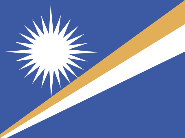
See the flag of Marshall Islands →
Majuro is an atoll, not a single landmass — a narrow ring of connected islets surrounding a large central lagoon, and the capital occupies a thin strip of that ring so narrow in places that a person can stand on the main road and see open ocean on one side and the lagoon on the other simultaneously. It became the administrative center of the Marshall Islands during the postwar US Trust Territory period after the Second World War and was retained as capital when the country adopted self-government under its 1979 constitution.
Before the war, the atoll had no comparable administrative role; Marshallese political and social organization was traditionally distributed across the two island chains, the Ratak and Ralik groups, under a system of hereditary chiefs (iroij) rather than concentrated in any single town. Majuro's rise to capital status is therefore a 20th-century development tied to US military and administrative infrastructure built during and after the Pacific War, not a continuation of any pre-colonial seat of power.
The atoll's total land area is small enough — under ten square kilometers spread across dozens of islets — that Majuro faces some of the same low-elevation vulnerability as Tarawa in Kiribati or Funafuti in Tuvalu; large sections of the capital sit only a meter or two above sea level, and the Marshall Islands government has been an outspoken advocate in international climate forums specifically because Majuro's infrastructure, including its main airport runway, is directly exposed to storm surge and long-term sea-level rise.
Majuro serves as the base for the Marshall Islands' unusually large ship registry: the country operates one of the largest open ship registries in the world, ranking among the top flag states globally by registered tonnage, a significant and somewhat unusual revenue source for a nation of its size that has little to do with the atoll's physical geography and everything to do with favorable registration terms set up decades ago.
The atoll also carries a wartime history distinct from the rest of the country: Japanese forces occupied Majuro during the Second World War before US forces took it in early 1944 as part of the broader Marshall Islands campaign, and remnants of wartime fortifications and Japanese-era infrastructure can still be found scattered across the atoll today, predating the postwar administrative growth that eventually made Majuro the country's capital.
As the seat of the Marshall Islands government, Majuro has been the administrative center for handling the long legal and diplomatic aftermath of US nuclear weapons testing carried out on Bikini and Enewetak atolls between 1946 and 1958; the Marshall Islands' Nuclear Claims Tribunal, based in Majuro, was established under the 1986 Compact of Free Association with the United States to process compensation claims from communities displaced or affected by the tests, though funding shortfalls have left many awards only partially paid.
The Compact of Free Association itself, renewed in updated form in 2023, gives the United States authority over Marshallese defense and security in exchange for financial assistance and the right of Marshallese citizens to live and work in the US without a visa — an arrangement negotiated and administered from Majuro that shapes much of the country's economy and out-migration patterns, with a substantial share of Marshallese citizens now living in the United States, particularly in Arkansas.
The Alele Museum and Library in Majuro preserves Marshallese cultural material including traditional stick charts, navigational tools once used by wave-piloting navigators to find their way between atolls without modern instruments — a traditional skill that had nearly died out by the late 20th century and has since seen a modest revival effort supported by cultural organizations based in the capital.
Quick facts
- Majuro's population is roughly 27,000 as of recent estimates, meaning well over half the country's entire population lives on this one atoll.
- Majuro Atoll consists of dozens of islets connected by causeways and a single main road running much of the atoll's length.
- The Marshall Islands' ship registry, administered through Majuro, is one of the largest in the world by registered tonnage despite the country's tiny population.
- US forces took Majuro from Japanese control in early 1944 during the Marshall Islands campaign of the Second World War.
- Much of Majuro sits only one to two meters above sea level, making the capital a frequently cited case study in Pacific sea-level-rise research.